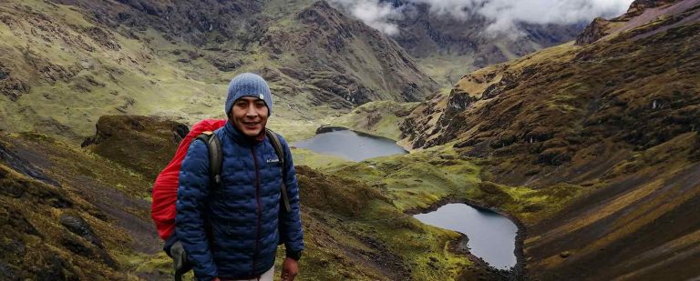
We highly recommend avoiding this trek in the rainy season (november through march) since the trail turns to mud and rock slides are very common.
How to get there?
The road from Cusco to Tinke, (or Tinki) is completely paved and kept in good condition, since it is the Interoceanic road that leads to Brazil. In your own vehicle it is possible to get there in two or three hours.
Public transport
Minibuses leave from Cusco to Tinke from 4 a.m. to 4 p.m., from behind the Closed Colosseum in Cusco. The vehicles do not have fixed schedules, they depart as soon as they are full. The ticket costs around 15 soles, approximately 4 dollars.
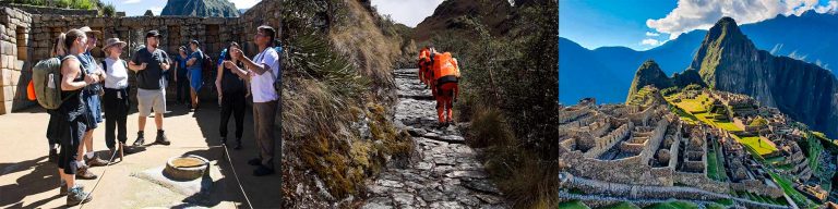
ITINERARY/DIRECTIONS – Ausangate Trek Information
Check the details of any agency’s itinerary to ensure they offer everything outlined below.
Blue line – Tinki – Pacchanta / Yellow line – Tinki – Upis / Red Line – Ausangate Trek
From Tinki to the town of Upis there is a gravel road that is usually in poor condition and there is no regular public transport. You can hire motorcycles or taxis, or walk a little more than 7 kilometers. In Upis there are no thermal baths, from there you have to walk about two or three more hours to reach them. The place where the hot springs are located is marked as a camping area for the beginning of the trek. There is no major infrastructure, except a couple of latrines.
If you want to walk from Tinki to Upis you can take a shortcut about 500 meters from the bridge where the entrance fee is paid. After the bridge, the road curves and keeps straight after the bridge. There is a green two-story house where you turn right. Follow the street until you cross a bridge, then take the path clearly visible on the left, the one on the right goes to Pacchanta. This will take you back out to the vehicular road, saving a couple of kilometers.
Following the road, a detour to the right must be ignored, later there are other crossings but they are unmarked until you reach the village. There is also a sign indicating the arrival in Upis, the town is so small that it is basically just the school, post office and soccer field. The houses are scattered and there are no businesses of any kind.
From Upis, there is a clearly visible ascending path, this soon leads to another vehicular road. Follow the path, ignoring a detour that goes up to the right. This road reaches the hot springs and the initial camp of the circuit, but you can cut your way following a path that goes to the right, after a steep climb (coordinates of this turnoff 13 ° 43 ‘31.8 “S, 71 ° 17’ 46.9 “WO). This path borders a wide and damp valley for just over an hour to finally reach the aforementioned camping area at the bottom of the valley.
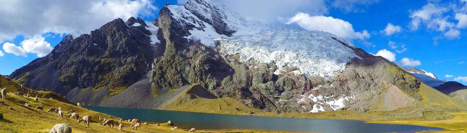
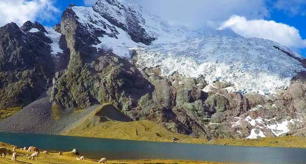
From that camping area, you have to walk for about two hours until you meet the Ausangate glaciers and the Queullacocha snowy mountain. Then, you must continue ascending along the valley, heading south.
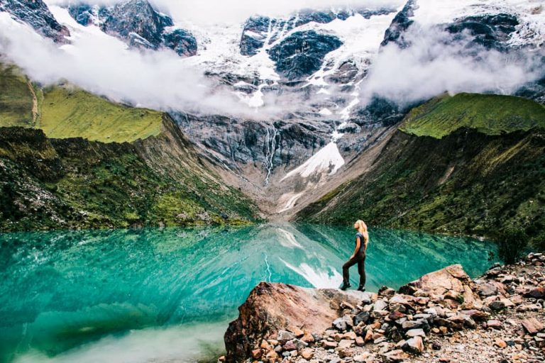
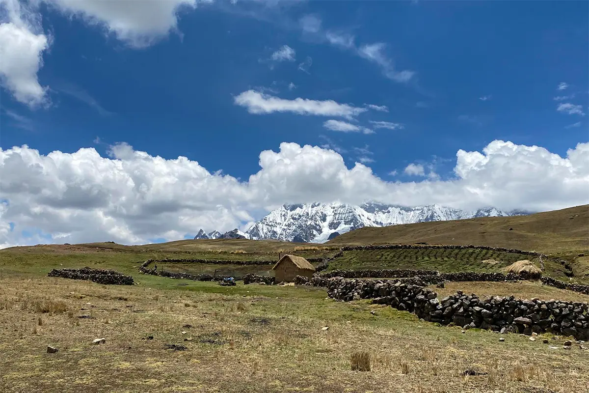
After a while, you will pass by houses of local farmers, with thatched roofs and cattle pens. You must continue climbing to cross the Arapa pass, at about 4,730 meters above sea level (Note: in the area, where Quechua is spoken, the steps are known as “Abra”, and thus appear on the route in Google Earth). After the descent, you pass Pucacocha Lake, rich with birdlife, and a good place to camp.
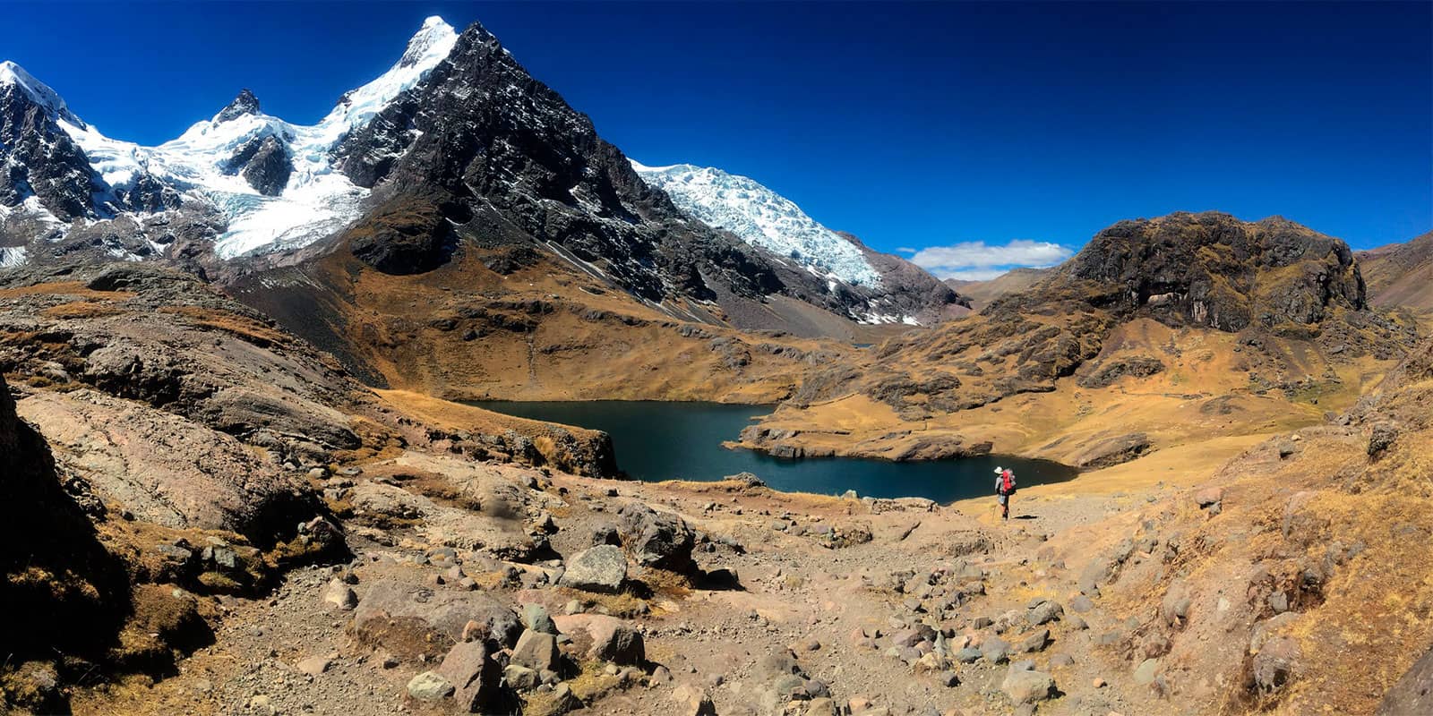
Then you will start moving east. First, you will ascent up to the Ausangate pass, at 4,850 meters above sea level. After this, you must ascend to 5,180 meters above the Palomani Pass. The view from this spot is absolutely spectacular, and will give you the rare opportunity to find ice at this latitude, especially in the snowy Santa Catalina.
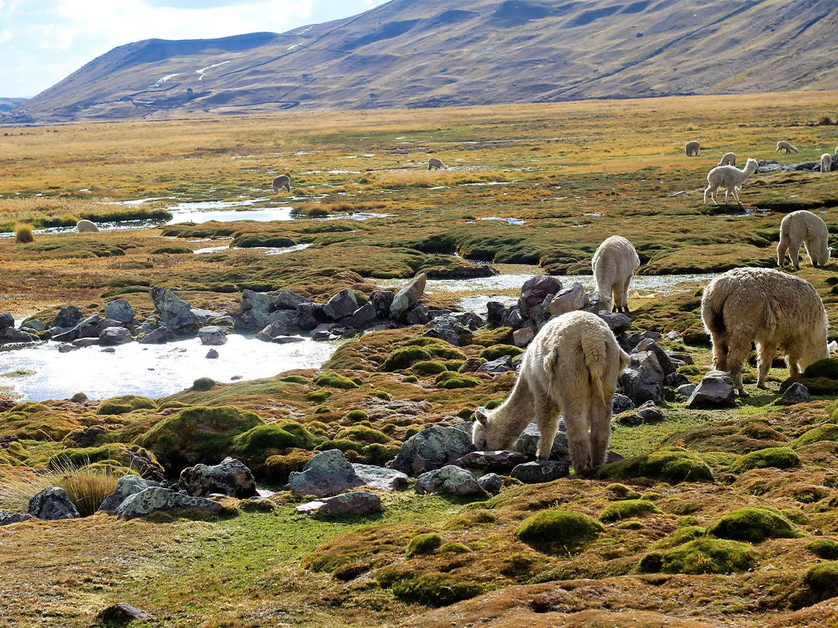
Then continue to Machuracay, where there are more livestock pens and scattered domestic animals, like llamas and sheep. Then the trail goes through Huchuyfinaya (4,370m) and continues to the hamlet of Jampa, at almost 4,400 meters above sea level. From this point, the views of the snowy Huairuro Mountain are sure to leave you in awe.
From here, you continue north. The trail will pass through the Chilcamayu valley, with scattered rural houses. It will be possible to observe the snowy peaks of Puca Punta and Tres Picos.
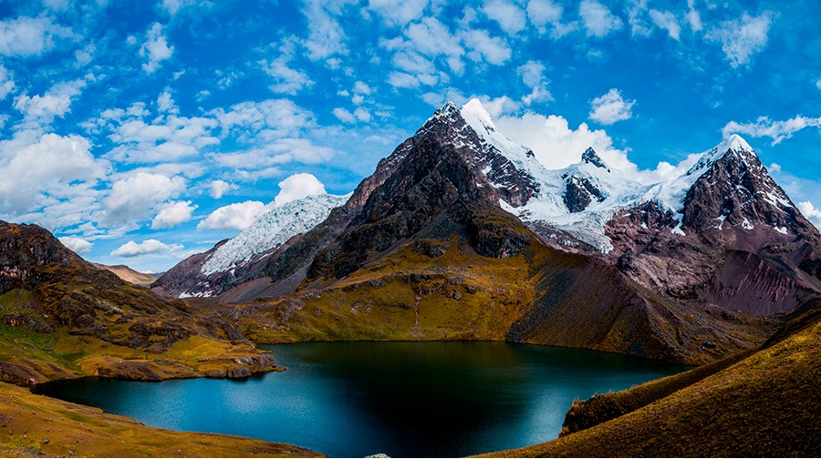
Then you must cross the Q’ampa pass, at 5,000m, located between the snowcaps of Puca Punta and Ausangate. Continue on the road by the lake of Q’oma Q’ocha, which is another good place to camp.
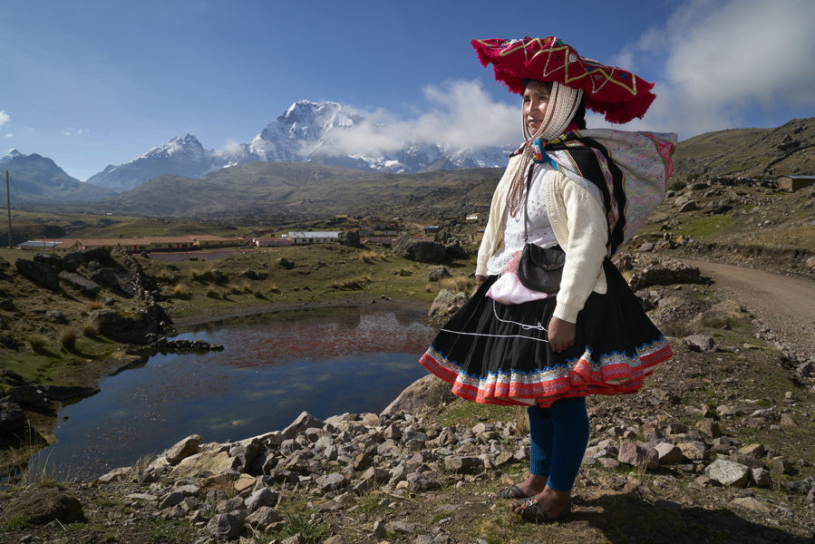
From this point, the route is mainly downhill to the town of Tinku, in the northwest direction. It will pass through Pacchanta hot springs. From this point to Tinki you are left with about 3.5 hours of walking, along a prarie with a slight slope.